Interacitve city map
Gut unterwegs in Bamberg
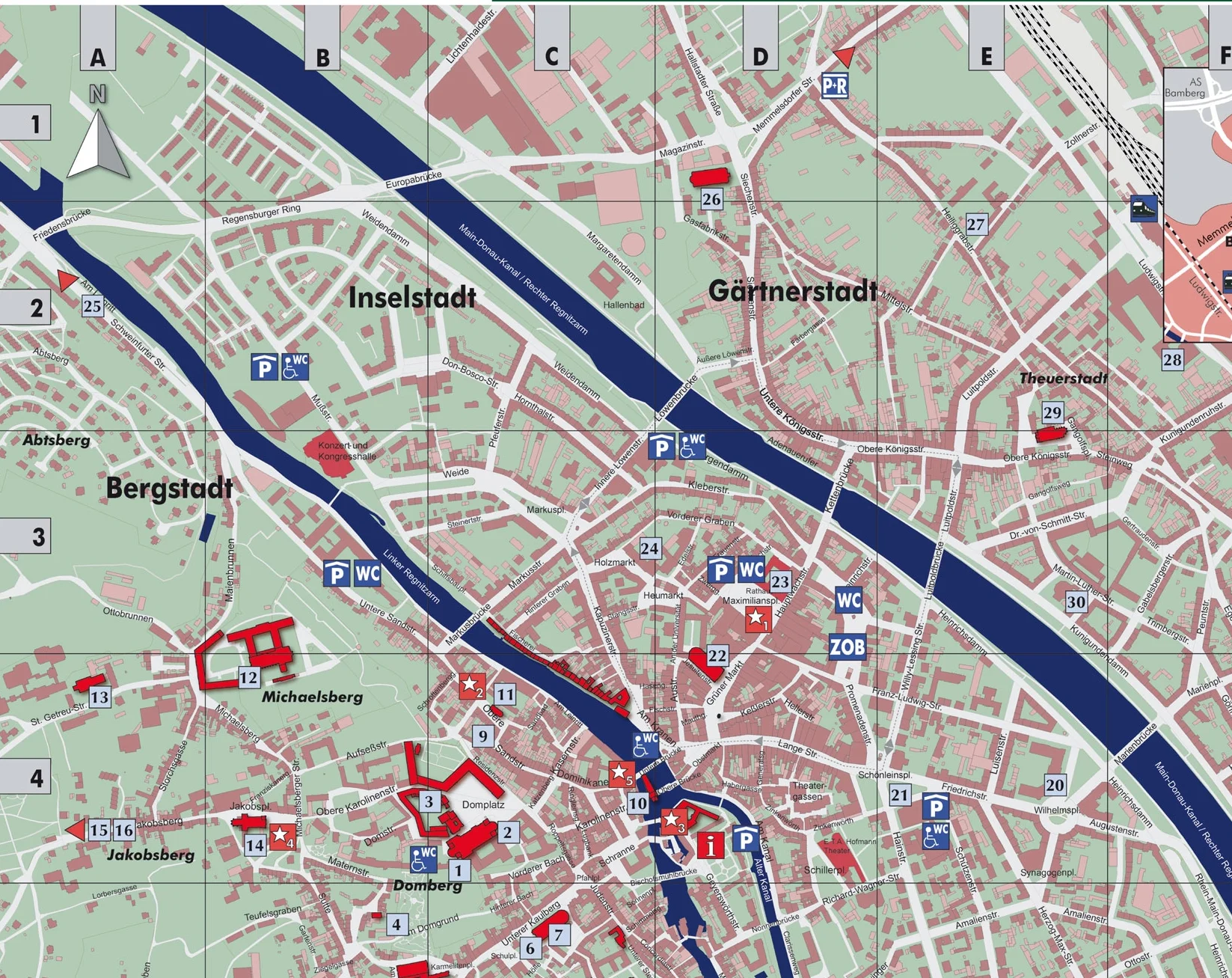
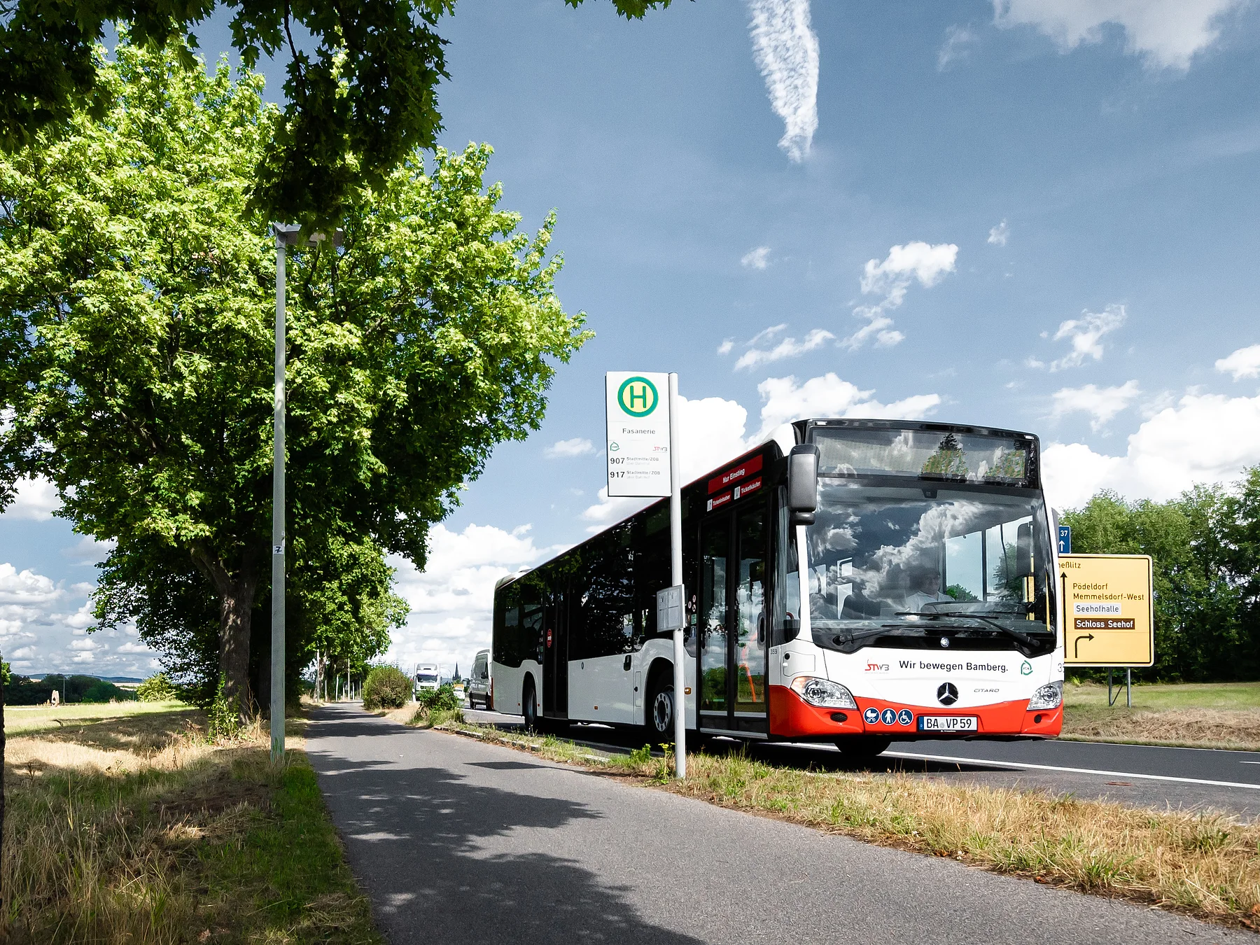
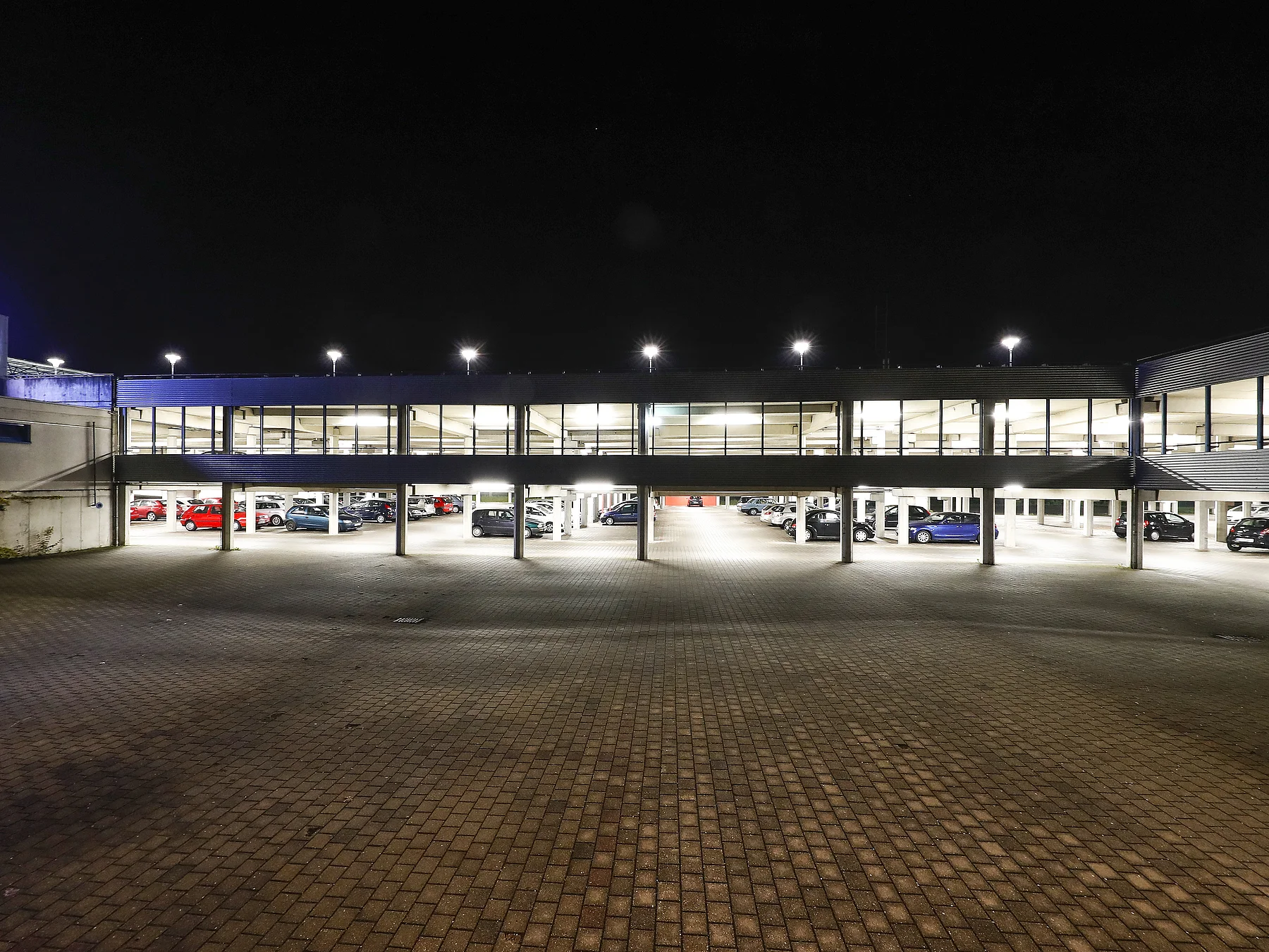
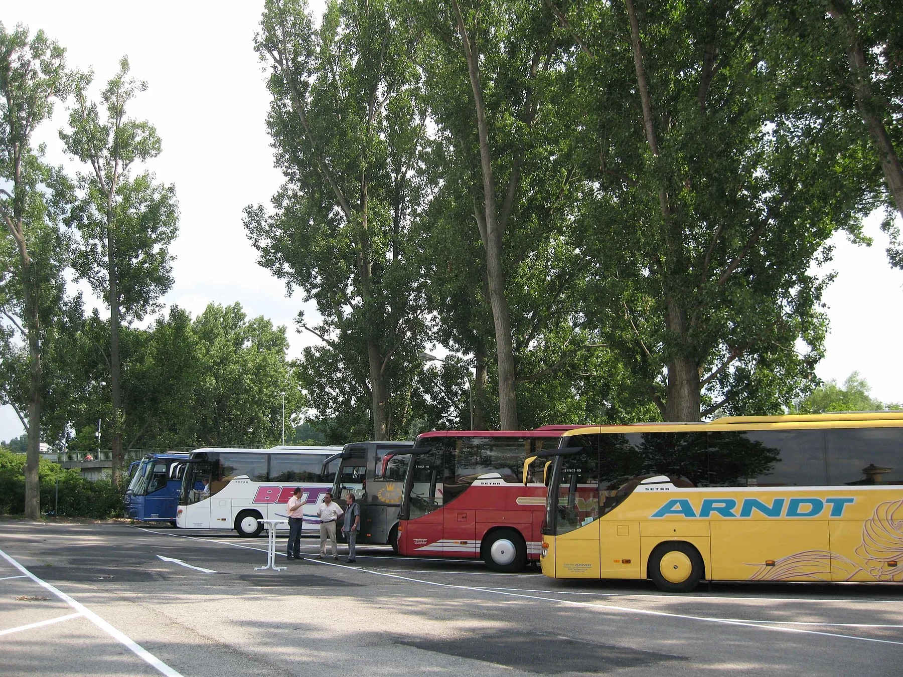
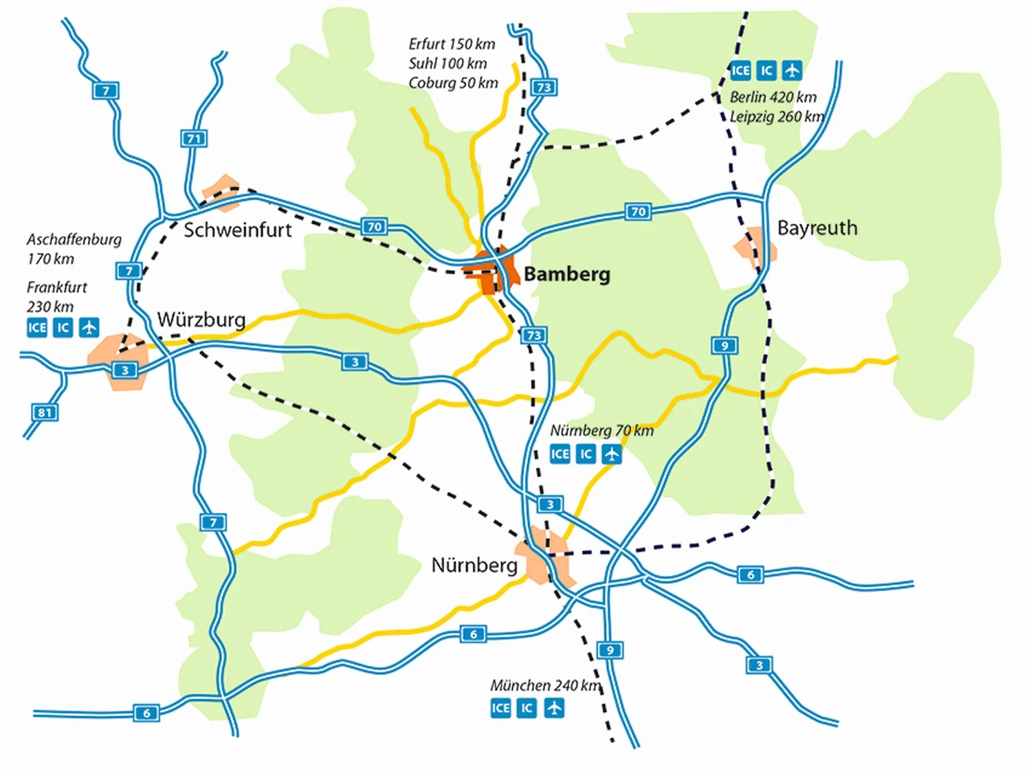
Bamberg has a well-used, regular bus service. Car drivers can make use of the Park&Ride offers and the inner-city parking facilities.
![Stadtplan der Bamberger Krippen-Stationen Stadtplan der Bamberger Krippen-Stationen](/data/thumbs/img/8302477_abreissblock_druck_vorne.jpg)
City map
![View from 'Am Kranen' to the 'Michaelsberg' View from 'Am Kranen' to the 'Michaelsberg'](/data/thumbs/img/8302479_bamberg-3.jpg)
How to reach us
All roads lead to Rome - which is also true of "Franconian Rome" or Bamberg. Whether you travel by car, bike, rail or plane, the city is quick and easy to reach.
![](/data/thumbs/img/10537641_170602-03_regnitzradweg_hma_1243-k.jpg)
Travel sustainably
The town boasts a dense network of inner-city and regional bus lines. The current timetable and map are available from all ticket kiosks, the service centre at the ZOB bus station, the drivers and on the internet, which also contains practical timetable information.
![](/data/thumbs/img/10666021_36-2-feuerwehrmuseum.jpg)
Parking
Parking lots and RV parks/Caravan sites
![The central coach park in Lichtenhaidestraße The central coach park in Lichtenhaidestraße](/data/thumbs/img/8302483_busbildklein.jpg)
Coach parking and guidance
Passenger drop-off and pick-up point in Mußstrasse, coach park in Lichtenhaidestraße